Big Bend National Park
Terlingua, TX
We took two days to tour this park and could have used a few more. There are 309,331 square miles of protected land and is the largest protected area of the Chihuahuan Desert ecology and topography.
If you are a hiker, this place has some amazing trails to explore, in both the high country and the desert.
It also has over a hundred miles of primitive roads for high clearance vehicles.
The elevations at the park range from about 1850 ft at the Rio Grande Village to over 7800 ft at Emory Peak in the Chisos Mountains. That made for some interesting roads and scenery.
We downloaded a marvelous app called "Just Ahead" It uses the GPS on your phone and became a virtual tour guide throughout the park. It even knew when we passed the same point twice. There are other parks in the US where it can be used.
Check it out at:
www.justahead.com
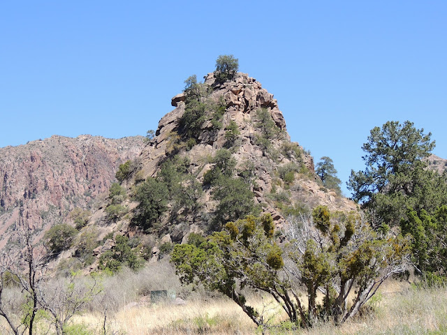
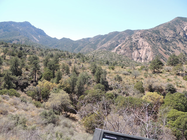
A beautiful park with tons of rock formations
"The Window" At the Chisos Mountain Lodge where we had lunch.
Swallows nesting under the eaves of the restaurant.
Visitors Center at the Chisos Basin
Along the Ross Maxwell Scenic Drive.
Donna and Abby thought about trekking to the ranch and changed their minds.
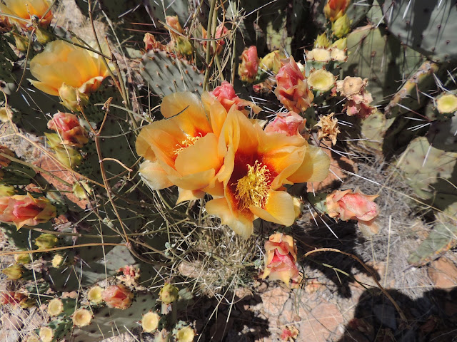
Prickly Pear Cactus in bloom
Yucca in bloom
Ruins of an early farm
Santa Elena Canyon from a vista point.
The Santa Elena Canyon and the Rio Grande River. To the right is the US and on the left is Mexico
Day Two Off to the Hot Springs and Mexico.
Ocotillo in bloom
Beautiful sky.
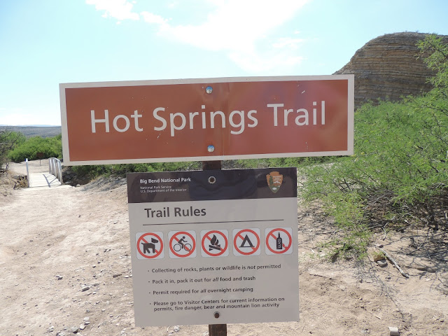
Hot Springs
At the Hot Springs Parking area. People come here and stay in their vans. Some look like they've been here awhile.
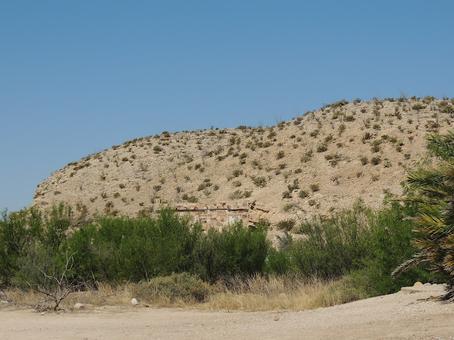
The Store, built around 1902
The Bath house
Cliff Swallows nests
Folks relaxing in the springs.
A place to dry your towels
Moving on to the border crossing.
This tunnel was built in 1959 to reroute the road from an area was known as "Dead Man's Curve"
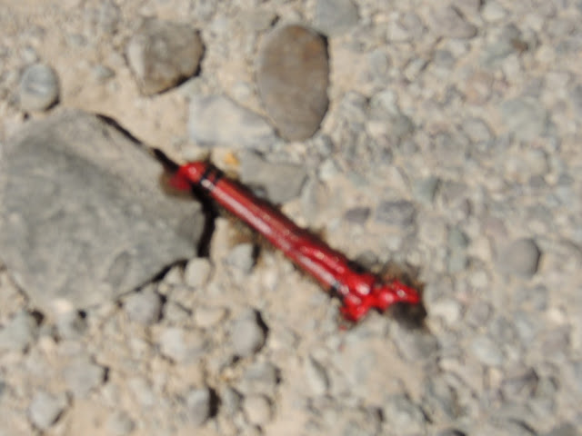
A red crayon melting in the sun.
Ernst Valley. Remnants of the mining era.
We are almost there
OOPS!!!
Guess we don't get to go to Mexico today. Bummer!!! Cool Gate, though.




















No comments:
Post a Comment